The new "stickers" from Strava are going to become popular on Instagram
New update of the popular Strava app that, among other functions, improves the way we can share our routes on social networks thanks to the incorporation of statistics stickers that allow us to show our followers more directly and visually the data of our routes.

Strava improves the way we share our routes on other social networks
The social network philosophy of sports is what made Strava become the reference application for athletes of countless modalities, including, obviously, cycling. A characteristic in which Strava has been delving into in the successive updates it has been launching in order to attract more users.
Precisely in that direction goes the latest update of its app that incorporates the so-called statistics stickers that come in various designs and that collect, depending on the one we choose, different data of the route we are going to share such as distance, elevation, time, route layout... These stickers are transparent so that we can add an image of our route underneath so that when sharing it on our social networks they are more attractive to our followers.
RECOMENDADO

The Tour de France is cutting its prize money in 2026: here's how the 2.3 million euros will be distributed
The UCI uses this index to determine when the heat is dangerous for cyclists
Impossible challenges and cycling legends: The 10 toughest mountain passes on the planet
Counter-steering, braking, and tracing: the basics for improving your curve handling
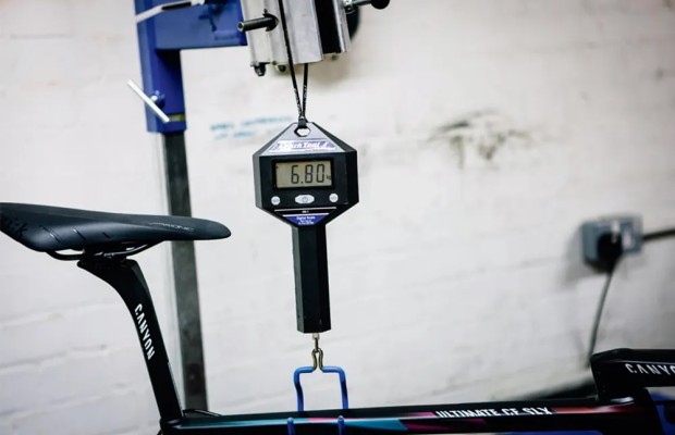
Does the current UCI limit for bicycle weight make sense?
Why short cranks are trending?

In addition to these statistics stickers, Strava has also improved the visualization of its maps after acquiring FATMAP, a company that produced maps oriented to outdoor activities.
With these maps, it is now possible to see a much more realistic 3D representation of our routes or have new layers that allow us, for example, to visualize the slope at a glance through a color code. Besides, now all the KOMs, PRs, and relevant positions that we achieve along our route appear directly on the map to make it much easier to know the location of the segment where we have achieved it since, many times, the names of these are not very intuitive.

Also noteworthy among the novelties of the new version of the application is a highly demanded function by users such as the improvement of the route search engine, with a multitude of filters that allow us to locate a specific route very efficiently, either because we want to share it with another person or because we need to use that track.
También puede interesarte
Road
The Tour de France is cutting its prize money in 2026: here's how the 2.3 million euros will be distributed
Training
The UCI uses this index to determine when the heat is dangerous for cyclists
Road
Impossible challenges and cycling legends: The 10 toughest mountain passes on the planet
Training
Counter-steering, braking, and tracing: the basics for improving your curve handling
Road
Does the current UCI limit for bicycle weight make sense?
Bike components